
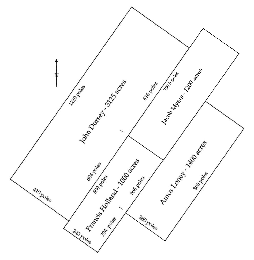
John Dorsey claimed 3125 acres that lay along the Salt River downstream from the Rolling Fork in what is today Fort Knox. According to his survey, this tract lay downstream from Francis Holland's 1000 acre tract which is described on another page, as well as Jacob Myers' 1200 acres as shown here.
Dorsey's tract was one of three that lay across Salt River in this area as shown on the drawing to the right below.
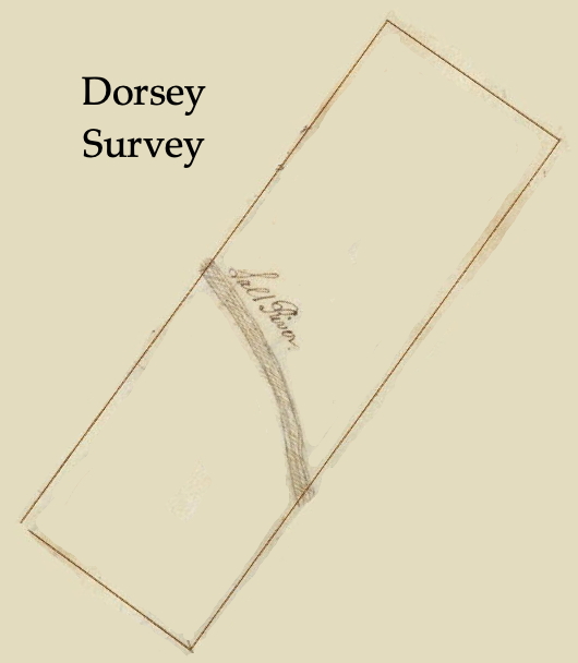
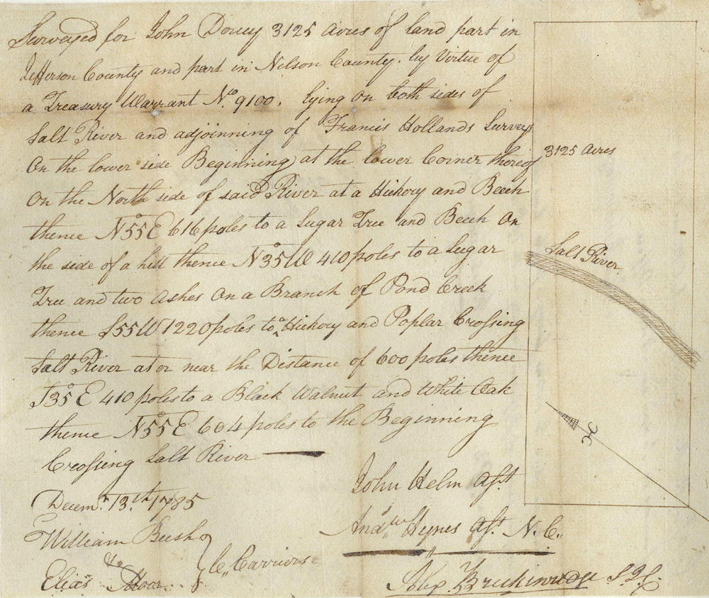
Survey
Surveyed for John Dorsey 3125 acres of land, part in Jefferson County, and part in Nelson County, by virtue of a treasury warrant number 9100 lying on both sides of Salt River and adjoining of Francis Holland's survey on the lower side. Beginning at the lower corner thereof on the north side of said river at a hickory and beech, thence North 55° East 616 poles to a sugar tree and beech on the side of a hill, thence North 35° West 410 poles to a sugar tree and two ashes on a branch of Pond Creek thence South 55° West 1220 poles to a hickory and poplar, crossing Salt River at or near the distance of 600 poles, thence South 35° East 410 poles to a black walnut and white oak, thence North 55° East 604 poles to the beginning. John Helm, Surveyor. December 13, 1785. William Bush and Elias Moore, chain carriers.
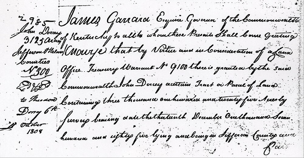
Deed
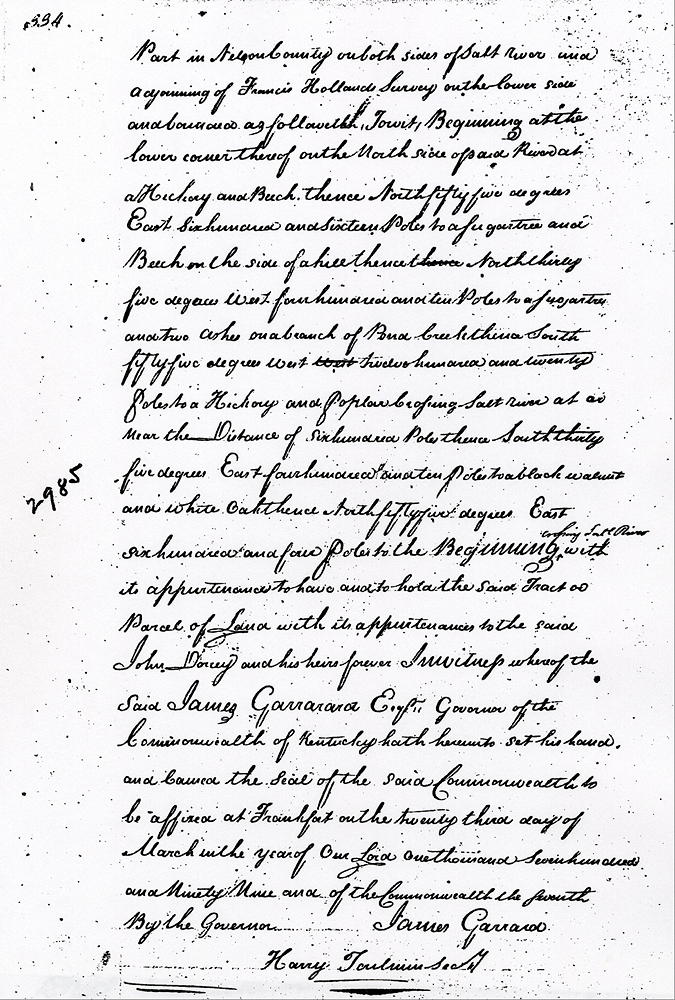
James Garrard, Esquire, Governor of the Commonwealth of Kentucky, to all to whom these presents shell come, greeting. Know ye that by virtue and in consideration of a land office treasury warrant number 9100 there is granted by the said Commonwealth to John Dorsey, a certain tract or parcel of land, containing 3125 acres by survey bearing date, 13 Dec 1785, lying and being in Jefferson county and part in Nelson County on both sides of Salt River and adjoining of Francis Holland's survey on the lower side and bounded as followeth, to wit.
Beginning at the lower corner thereof on the north side of said river at a hickory and beech, thence North 55° East 616 poles to a sugar tree and beech on the side of a hill, thence North 35° West 410 poles to a sugar tree and two ashes on a branch of Pond Creek thence South 55° West 1220 poles to a hickory and poplar, crossing Salt River at or near the distance of 600 poles, thence South 35° East 410 poles to a black walnut and white oak, thence North 55° East 604 poles to the beginning crossing Salt River with its appurtenances to the said John Dorsey and his heirs forever.
In witness whereof the said James Garrard Esquire, Governor of the Commonwealth of Kentucky, hath hereunto set his hand and caused the seal of the said Commonwealth to be affixed at Frankfort on the 23rd day of March in the year of our Lord 1799, and of the Commonwealth the 7th. (signed) James Garrard.
If you, the reader, have an interest in any particular part of our county history, and wish to contribute to this effort, use the form on our Contact Us page to send us your comments about this, or any Bullitt County History page. We welcome your comments and suggestions. If you feel that we have misspoken at any point, please feel free to point this out to us.
The Bullitt County History Museum, a service of the Bullitt County Genealogical Society, is located in the county courthouse at 300 South Buckman Street (Highway 61) in Shepherdsville, Kentucky. The museum, along with its research room, is open 10 a.m. to 4 p.m. Monday through Friday. Saturday appointments are available by calling 502-921-0161 during our regular weekday hours. Admission is free. The museum, as part of the Bullitt County Genealogical Society, is a 501(c)3 tax exempt organization and is classified as a 509(a)2 public charity. Contributions and bequests are deductible under section 2055, 2106, or 2522 of the Internal Revenue Code. Page last modified: 21 Apr 2026 . Page URL: bullittcountyhistory.org/bchistory/ok2985-dorsey.html